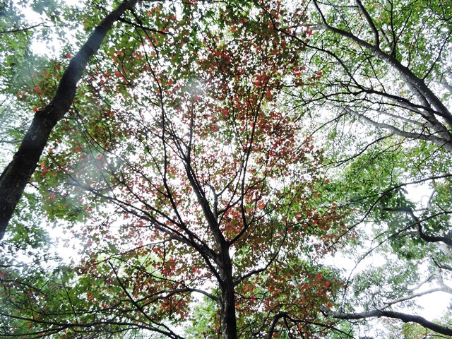
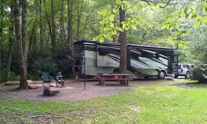
This morning was another cool morning and if felt so good to get a little walking in before completing our departure checklist. It’s with regret that we had to leave Standing Indian. Such a beautiful, peaceful place. Loved the hiking. Loved the waterfalls. We really hope to return here – maybe in the spring when the rhododendrons are in bloom. Don’t think we will have time to make it this fall, although it would be great to see the leaves.
We had a very uneventful drive back to Alabama. We have started the unloading but will have to work on that some more tomorrow. We did get to meet up with Barry and Donna and walk this afternoon. It was great to have a little time to catch up with them. Hope everyone has a great week.
It was another cool morning, almost fall-like. The day was the same with the high of 67 degrees on the mountain and 70 in the campground. Blue skies interrupted by some scattered clouds. With the leaves already beginning to change – nice red leaves already – we really felt like autumn is approaching. Great hiking weather.
We decided to stay one more day so that we could hike one more mountain. We hated to leave without hiking the campground’s name sake, Standing Indian Mountain. We could have hiked from Rock Gap where we completed yesterday’s hike but the sign said hiking the Appalachian Trail from there would give us an 18.3 mile hike. Since we would have to hike the return as well we decided we were not quite ready for that hike. We could however drive to the Deep Gap trail head on the Appalachian Trail and hike up from there. We thought that was a 5 mile hike to the summit giving us 10 miles for the day but after hiking to the summit discovered it was about 2.5 to the top. So with the added spurs we did off the trail we hiked 5 to 5.5 miles today, all on the AT. This hike was rated “more difficult” due to the increase in elevation. It was strenuous going up but much easier on the way back. We know people who have hiked the entire AT as through-hikers and others who are doing it in sections. While hiking the entire AT is truly an accomplishment, we know that is never going to be a realistic goal for us. We are however making it a goal to hike a portion of the AT in each state it passes through. Currently we only have Tennessee and North Carolina but maybe we can pick up Georgia soon. We would like to hike the southern and northern terminus of the AT some day. Anyway, today’s hike up Standing Indian Mountain was a beautiful one. Sadly last year’s fires burned on both sides of the trail much of the way up the mountain. While the fire damage is obvious, the undergrowth is making a quick return. The ferns are lush and green and everywhere. There are wonderful wild flowers lining the trail most of the way up. In many places the flowers almost touch your arms on both side as you pass. The bees are loving the flowers. The buzzing is almost unnerving although the bees seemed totally uninterested in us. Again there was rhododendrons in many areas. The ones at higher elevation were still blooming and a few had not even started. Hope they bloom soon because there were lots of red leaves at higher elevation as well. There were beautiful views from the summit as we expected. We also found a twelve year old geocache on the top. While exploring the summit some of our neighbors from the campground hike up with their two young boys. The Dad had hiked here a number of years ago and told us there was an Indian head in a rock somewhere on top. Together we found it. Neat! It was another great day in the mountains.
Today’s adventure started with a beautiful drive through the forest
At the Deep Gap trailhead
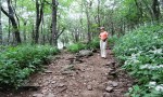
The forest around this part of the AT burned but is recovering quickly
Where the forest burned you could see the surrounding mountains
Much of the trail is bordered by these white wildflowers
There was a constant buzzing of bees in the white flowers
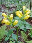
Some unusual wildflowers on the trail
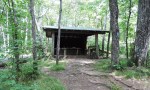
The Standing Indian shelter on the AT
This is where the trail to the summit of Standing Indian Mountain splits off the AT. Notice the random kairns.
A twelve year old geocache we found on the mountain
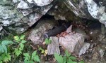
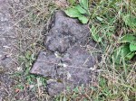
The Indian head
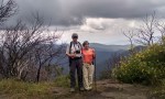
On top of Standing Indian Mountain
Panoramic view from the top of Standing Indian Mountain
This morning we were up by about 7:00, fixed breakfast and Nancy did the last of her packing and loaded her bike onto the rack. She was on her way about 9:30. We really appreciate Nancy encouraging us to visit Standing Indian and for being our wonderful tour guide. We will be on our own for the remainder of our stay here but she gave us multiple suggestions for additional hikes.
Today we decided to take the Long Branch Trail from the campground. It intersects the Appalachian Trail at about 2.5 miles. The rating for this hike is “More Difficult” We would agree due to the steep inclines. Once we began hiking the AT, we were primarily going across the top of the ridge and the hiking was a little easier. There was a long descent in to Rock Gap after another approximately 3 miles. We hiked to Rock Gap because that is the closest place we get a cell signal. There is just a tiny area there with 4G and 3 bars on Verizon. We needed to make multiple calls and check texts and emails. After cooling off, drinking plenty of water and making the calls we decided to hike back by road. It would have been a steep hike back up the AT and then back down Long Branch we decided we wanted to get on back to the campsite, have a late lunch and try to catch up on this blog. The hike to Rock Gap was a beautiful one through the forest. Just being in the quiet of the woods enjoying all of God’s handiwork is such a blessing. Our hike today was about 7.5 miles of pretty strenuous hiking.
Starting UP the Long Branch Trail. It is steep in several place on the way to the Appalachian Trail.
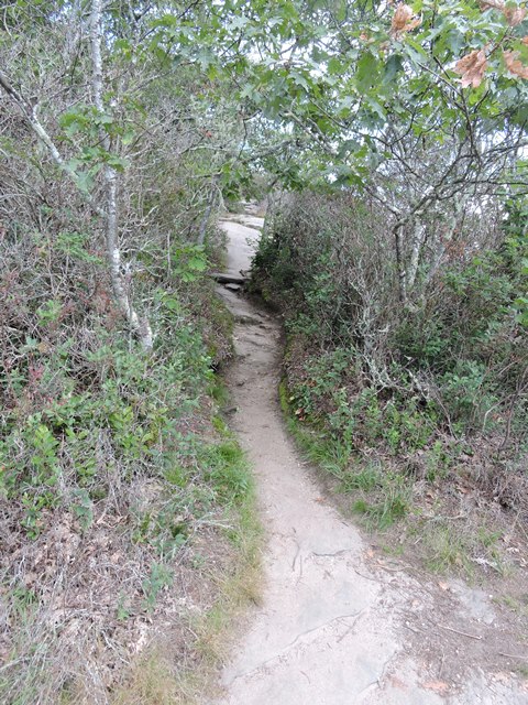
Hiking Long Branch Trail
One BIG oak on the trail
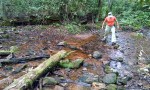
Another stream crossing on Long Branch trail
Back on the Appalachian Trail again
Much of this section of the AT is in a rhododendron tunnel
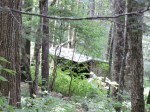
In case you ever wondered what an Appalachian Trail shelter looked like
Rock Gap parking area is the closest place to the campground to get phone service
Another great day in the mountains! We will be driving, instead of hiking, up to Rock Gap shortly to post the blog.
We all slept well last night with the windows open listening to the creek rush by. A little cooler this morning and suppose to be a lot cooler tomorrow – in the 50’s – after a cold front goes through today. Really great weather. There was a chance of rain today but we never saw it.
After breakfast Anne’s cousin Nancy offered to take us on a waterfall tour in the Nantahala National Forest. We always enjoy waterfalls so we were all far it. We left the campground continuing on east on 64 through Franklin.
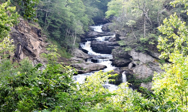
Cullasaja Gorge
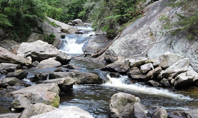
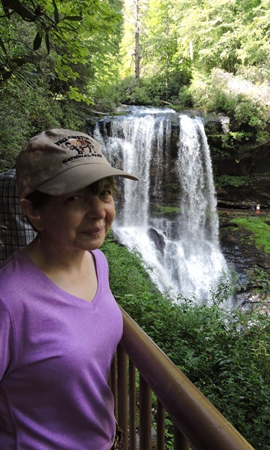
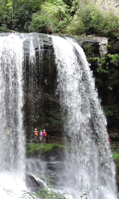
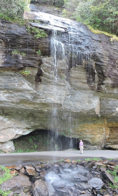
From Franklin 64 turns into a Scenic Byway leading to Highlands. This section of 64 definitely qualifies to be labeled a scenic byway. It was an absolutely beautiful drive through the Cullasaja gorge. We had to make several stops for pictures. So very pretty. You know we love funny name places. We stopped at one water fall visible from the highway called Bust your Butt Falls. It looked like you could if you weren’t real careful. Next stop was at Dry Falls which was anything but dry. It was a short walk from the highway down some steps and a boardwalk. It’s called dry falls because you supposedly can walk behind the falls and stay dry. Not when the wind is blowing in the wrong direction. Next was Bridal Veil Falls, another falls right beside the highway but lighting was poor for pictures so we stopped back by on the way home and got some good pictures. We did a driving tour of Highlands. Really pretty little town with neat little stores and gorgeous landscaping. Glenn Falls was multi-layered and required a good deal of somewhat strenuous hiking, but worth the work.
Nancy’s boys used to swim at Bust Your Butt Falls
Dry Falls
Anne and Nancy behind the falls
Bridal Veil Falls
Glenn Falls
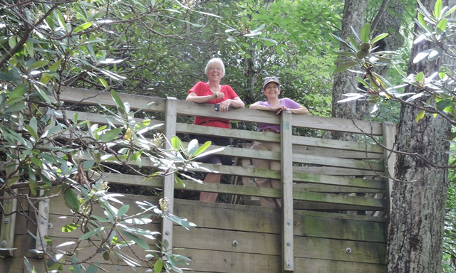
Nancy and Anne at Glenn Falls
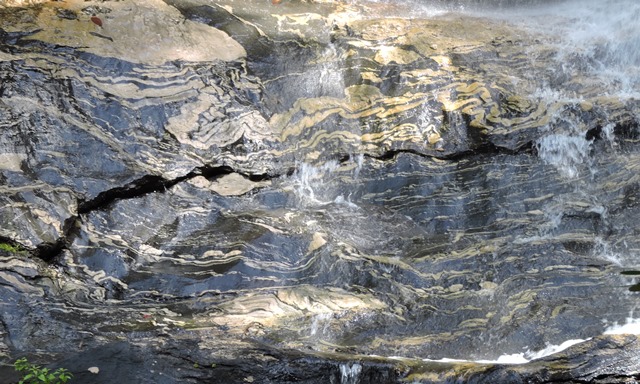
Rock pattern at Glenn Falls
We stopped at Whiteside Mountain and had a quick picnic lunch before starting the hike up the mountain trail. Fortunately we had Nancy for tour guide because here she told us we should take the strenuous way up, with lots of steps and roots and steep climb. The sign said to take the more gentle incline from old road bed up the mountain. Nancy definitely knew the best way because the “strenuous” route on the way down would have been really hard on the knees. It was about a four mile round trip.
Welcome to Whiteside Mountain
Trail on Whiteside Mountain
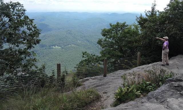
Whiteside Mountain overlook
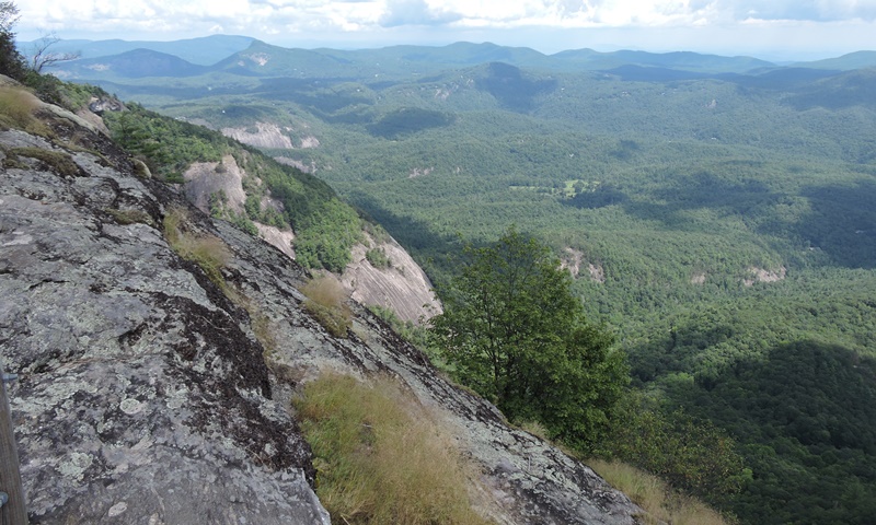
The view from Whiteside Mountain
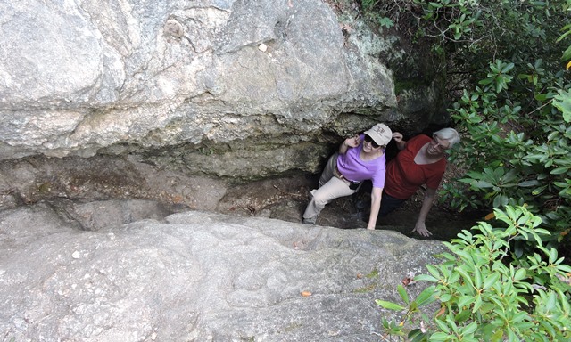
Fat Man Squeeze
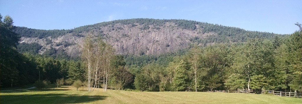
Looking up at Whiteside Mountain
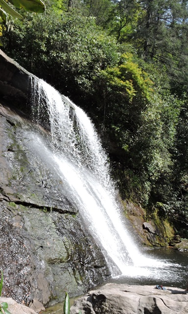
Silver Run Falls. This is one of Nancy’s favorite falls because she hiked here with her father when he was 85 years old.
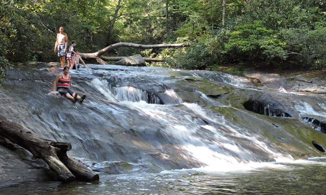
A natural water slide off of Horse Cove Road
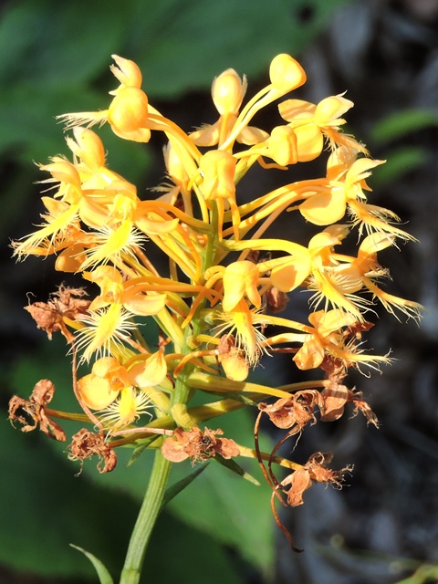
On the way back in Nancy showed us these wild orchids growing right outside the campground
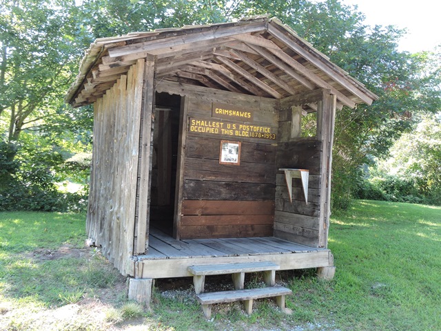
We also found this famous historical site on our scenic drive back to the campground
We traveled on to Cashiers and took another wildly scenic, curvy road back to Highlands stopping at another waterfall or two on the way back. Driving that road also gave us a great view of Whiteside Mountain from below and made it obvious where it got it’s name. Wonderful day of waterfalls and scenic beauty. Thanks Nancy for being our tour guide.
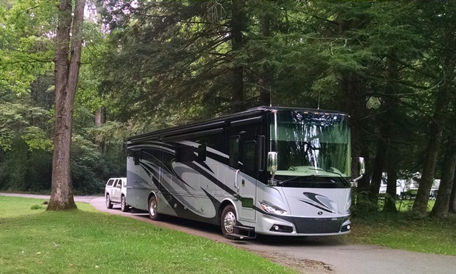
 This morning was another cool morning and if felt so good to get a little walking in before completing our departure checklist. It’s with regret that we had to leave Standing Indian. Such a beautiful, peaceful place. Loved the hiking. Loved the waterfalls. We really hope to return here – maybe in the spring when the rhododendrons are in bloom. Don’t think we will have time to make it this fall, although it would be great to see the leaves.